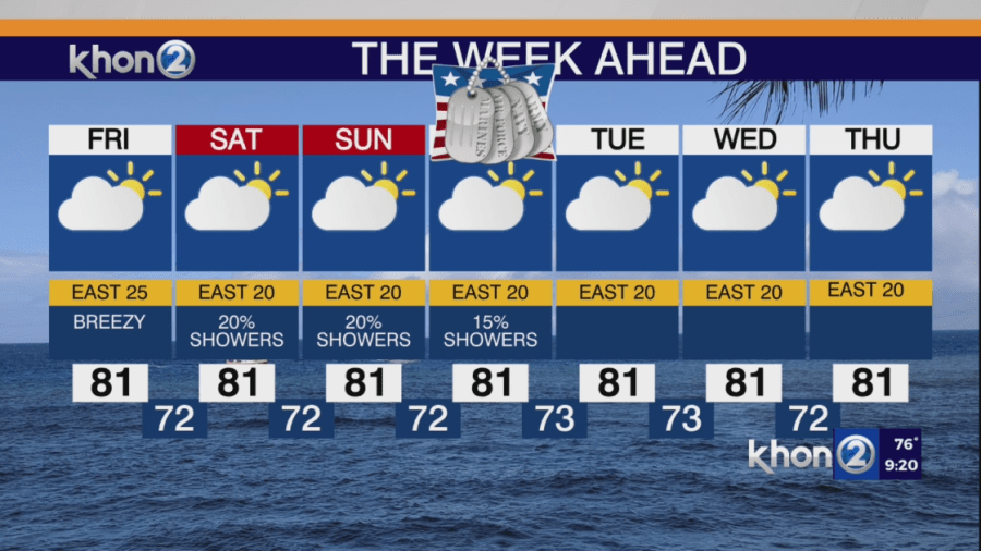
HONOLULU (KHON2) — High-level cirrus clouds are moving from west to east across the islands, while low-level clouds are drifting over the islands with breezy easterly trade winds. These high-level cirrus clouds may enhance sunrise and sunset colors over the next few days.
Trade winds will peak on Friday as high pressure builds slightly, then decrease over the weekend. These winds will push clouds over the windward island mountains into the middle of next week. Brief showers are expected mainly over windward and mountain areas, especially overnight to early morning. Leeward areas will remain drier with fewer clouds and isolated showers due to the trade winds’ subsidence effect downstream of the windward mountains.
The highest chances for clouds and showers will continue to be over eastern Maui near Hana, and the eastern slopes of the Big Island from the Hamakua Coast to Hilo to the Volcano.