HONOLULU (KHON2) – High pressure north of the islands continues to produce moderate to breezy easterly trade winds across the state.
Satellite imagery shows partly to mostly cloudy skies across the region this afternoon, with the typical distribution of clouds over windward and mauka areas and the Kona slopes of the Big Island.
Radar imagery shows generally dry conditions with isolated to widely scattered showers embedded in the trade wind flow moving into windward coasts and slopes, along with a few showers over leeward slopes of the Big Island.
Guidance continues to show high pressure strengthening as it moves northeastward and further away from the islands tonight through early next week.
This will maintain breezy trades across the islands.
The trades may ease slightly during the middle to latter part of next week as a couple of fronts pass by to the north of the state.
Fairly typical trade wind weather will prevail through most of the forecast period, with showers favoring windward and mauka areas, particularly at night and during the early morning hours.
A few showers will occasionally spill into leeward areas due to the strength of the trades, and some leeward shower development is expected each afternoon on the Big Island.
A disturbance aloft could increase shower coverage and intensity across the islands late next week.
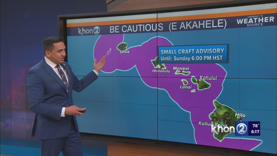
Small Craft Advisory until 6 PM HST Sunday for Kauai Northwest Waters, Kauai Leeward Waters, Kauai Channel, Oahu Windward Waters, Oahu Leeward Waters, Kaiwi Channel, Maui County Windward Waters, Maui County Leeward Waters, Maalaea Bay, Pailolo Channel, Alenuihaha Channel, Big Island Leeward Waters, Big Island Southeast Waters.