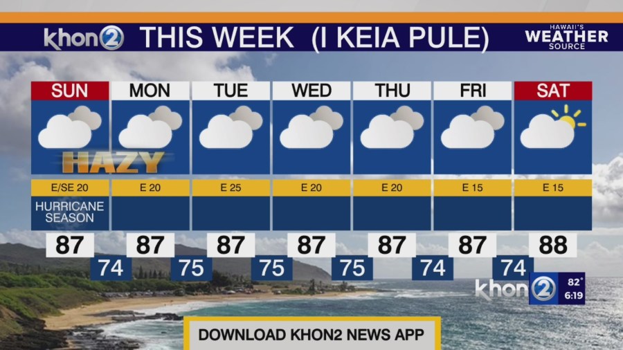
HONOLULU (KHON2) – Moderate to breezy trades will veer east-southeast tonight through Monday as a strengthening high well to our northeast interacts with a broad trough approaching from the northwest.
This slightly veered wind direction will disrupt the trade wind flow across the smaller islands and allow for the development of land and sea breezes across leeward areas.
An upper-level trough approaching from the northwest will lower 500 mb heights and temperatures, introducing some instability over the western half of the state Sunday through early next week.
The instability associated with this feature and an influx of low level moisture may help to enhance windward showers overnight and sea breeze-induced clouds and showers over leeward areas during the afternoons, particularly over the western half of the state.
This east-southeasterly flow may also transport vog to a majority of the island chain through early next week.
Small Craft Advisory until 6 AM HST Monday for Maui County Windward Waters, Pailolo Channel, Alenuihaha Channel, Big Island Windward Waters, Big Island Leeward Waters.