HONOLULU (KHON2) – Closed mid-level low positioned west of the islands at press time is transitioning to a weak and sheared out low amplitude shortwave as it’s partially absorbed back into mid-latitude westerlies.
This low remains of little consequence other than the attendant subtropical jet which is gracing area skies with occasional cirrus.
Near the surface, observed soundings indicate a very firm trade wind inversion anchored near 6kft at Lihue and Hilo, though slightly weaker in the vicinity of Kauai courtesy of closer proximity to the low.
This has kept a kept a lid on overnight showers while the daytime diurnal max has maintained dry predominantly dry conditions each afternoon.
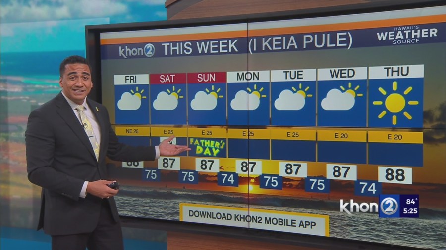
Little change expected going forward as showers remain light and ridging north of the islands strengthens.
This will only reinforce stable trade wind conditions as trades become strong this weekend into early next week.
Given the strength of the inversion and strengthening background trades, it will be worth monitoring favored downslope areas for gusty wind potential as early as Friday, mainly in Maui County and the Big Island.
Shear-induced upper low development is anticipated over the islands this weekend which may diminish stability a bit, especially over the western end of the state, but the shallow boundary layer moisture field will likely be unable to capitalize leading to a rather uniform scattered coverage of light-intensity showers each night.
Small Craft Advisory until 6 PM HST Sunday for Maalaea Bay, Pailolo Channel, Alenuihaha Channel, Big Island Leeward Waters, Big Island Southeast Waters.