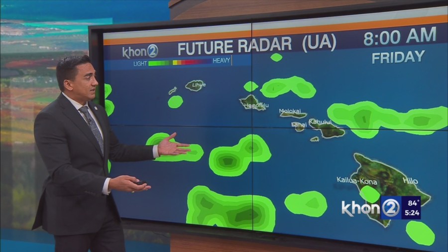
HONOLULU (KHON2) – Typical early summer conditions are in place.
Precipitable water is running near to just below seasonal normal, and little organized moisture is observed in the trade wind flow.
As a result, rainfall has been modest and focused over windward slopes, where less than a half of an inch has been measured during the past 24 hours, and most leeward areas have been dry.
The only exceptions are the Kona slopes of the Big Island and portions of Upcountry Maui, where spotty afternoon showers will taper off later in the evening.
Little change is expected into Independence Day.
Trade winds will become breezy on Saturday, and the stable, gusty and rather dry conditions will persist through at least Tuesday.
Trades will increase as surface high pressure far northeast of Hawaii strengthens to around 1032 mb.
A mid level ridge will build overhead and push the inversion down to 5,000 to 6,500 feet. The interaction of the breezy trade wind flow with the islands should generate wind gusts around 40 mph over and downwind of terrain, though isolated areas on the Big Island and Maui County could approach Wind Advisory criteria at times.
The GFS and ECMWF are showing no distinct organized areas of moisture with precipitable water below seasonal average.
This should result in modest windward rainfall and aside from scattered afternoon and evening showers on the Kona slopes of the Big Island, dry leeward conditions.
Breezy, gusty, and rather dry conditions will develop on Saturday and persist into early next week.
Relative humidity at lower leeward elevations will likely fall below 45 percent each afternoon, and with the inversion dropping to as low as 5,000 feet winds will become gusty over and downwind of terrain.
This will result in near critical fire weather conditions over dry leeward areas, though no headlines (watches or warnings) are due since the Keetch Byram Drought Index will remain below the 600 threshold at Honolulu.