HONOLULU (KHON2) – High stability prevails as a strong inversion remains established around 6.5kft.
Overnight and early morning periods have seen the expansion of stable low clouds as moisture remains trapped beneath the inversion and expect that to be the case again tonight.
As a result, showers remain scattered in nature but light in intensity courtesy of strong capping.
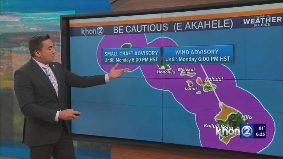
The Wind Advisory remains in good shape as the typical windier locales within Maui County and the Big Island have performed to expectations today.
Expect the next two days to feature more widespread advisory-criteria winds in these areas as the gradient further strengthens.
In addition, weak mid-level troughing will enhance mid-level trades likely warranting a Wind Advisory for the Big Island summits Monday night through Tuesday.
That potential will be evaluated in future forecast cycles.
The inversion then lifts and weakens slightly by Wednesday as a band of deeper trade wind moisture advances through the area bringing a slight uptick in clouds and showers for windward and mauka zones.
Combined with slight weakening of governing high pressure, this will help take the edge off of strong trade winds as they weaken slightly for the remainder of the week.