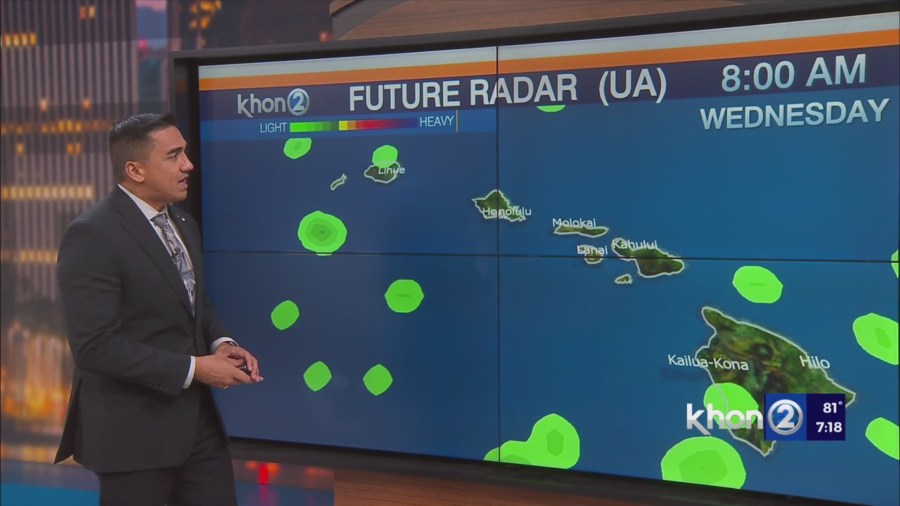
HONOLULU (KHON2) – As the evening progresses expect clouds and showers to diminish along the kona slopes and to increase over the windward and mauka areas.
This typical diurnal trade wind pattern is expected to repeat each day through the forecast period as the high pressure system remains anchored far northeast of the state.
As early as late Thursday into the weekend windward clouds and shower activity may see a slight uptick as an upper level low develops northwest of Kauai and low level moisture is advected in.
In addition, a few showers may move over to leeward areas at time along the smaller islands as inversion heights increase, especially during the overnight and early morning hours.
Confidence in these shower trends remain moderate at this time, as the strength of the upper low is currently projected to be on the weaker side of the equation.
More details will become clearer later this week, as the time period grows closer, and our
confidence on island by island shower trends improve.
