HONOLULU (KHON2) – A weak surface trough associated with the remnants of former Tropical Cyclone Ivo will move through the state this evening into Monday, which will cause the trade winds to briefly weaken and veer toward the east- southeast.
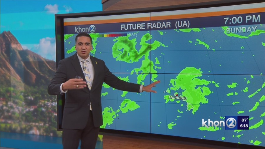
An increase of showers are also expected, although rainfall amounts should remain modest at best and mainly be focused over windward and mountain areas.
Due to the limited moisture, many leeward areas should continue to remain dry with the exception of the Kona slopes of the Big Island.
As this trough exits the area Monday night, we should see less clouds and drier conditions on Tuesday.
Trade winds should gradually strengthen Tuesday afternoon with moderate to locally breezy trades expected throughout the rest of the week.
Typical summer time trade wind weather is expected throughout the second half of the week with stable and mostly dry conditions.
Subtle increases of moisture will bring in some windward showers at times with mostly dry conditions persisting over leeward areas.
Trade winds could slightly strengthen over next weekend.
Small Craft Advisory until 6 AM HST Wednesday for Maalaea Bay, Pailolo Channel, Alenuihaha Channel, Big Island Leeward Waters, Big Island Southeast Waters.