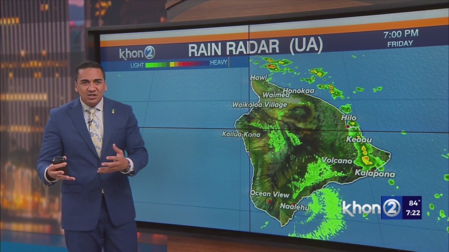
HONOLULU (KHON2) – Visible satellite and radar shows an area of low clouds and showers over windward areas and waters.
These showers are associated with an old front with breezy trades driven by the subtropical high.
Cold air aloft is creating somewhat unstable conditions in the atmosphere over the western islands, which is enhancing the incoming showers.
Trade winds will push in moisture from the old front through Saturday, while a cold pool aloft weakens the inversion and enhances showers and brings a slight chance of thunderstorms.
Showers are expected to fill in a bit more overnight tonight and then shift focus on Maui and Big Island on Saturday and Saturday night.
Sunday into Monday night a new upper low will track from the northeast over the islands and continue to enhance the trade wind showers from below.
So expect a the wetter weather to continue especially for all windward areas.
Drier conditions expected Tuesday into Wednesday as the trades begin to taper off due to some disturbances moving across the northeast Pacific.
Small Craft Advisory until 6 AM HST Sunday for Maalaea Bay, Pailolo Channel, Alenuihaha Channel, Big Island Leeward Waters, Big Island Southeast Waters.