HONOLULU (KHON2) – A large area of high pressure at the surface was centered off the west coast of the mainland this afternoon.
It will lose strength as a new center forms in the central Pacific by Tuesday.
This new high then progresses slowly eastward and ends up roughly due north of the state by the end of the week.
The result will be a weakening of the trades through late Tue or early Wed, followed by a re- strengthening as the surface high moves east.
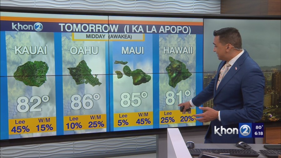
Mainly windward showers will develop and move through periodically.
Aloft, a low will drop south toward the islands through Monday and then weaken as it moves east, ending up to our NW.
A weak and persistent trough will then be draped over/near eastern counties through Thu or so. This will keep that area a little more unstable than usual for the next few days.
There should be enough moisture, along with this instability, to allow for stronger showers and perhaps even a thunderstorm over the leeward side of the Big Island through Wednesday.
This was left in the forecast unchanged.
