HONOLULU (KHON2) – A closed upper level low centered about 300 miles to our southwest will drift NW through Monday afternoon before weakening to a trough.
This trough will then move slowly east over the state, and then become nearly stationary, through Tuesday.
This trough will have cold air aloft, resulting in enough instability for a slight chance of thunderstorms.
The best chance will be over the western part of the state.
Models are in fairly good agreement that the trough will evolve back into a closed low much farther off to the southwest late Wednesday, and drift west for several days.
Another closed low is expected to form to our east late next week.
At the surface, a series of high pressure centers to our north will move from west to east, keeping us in trade winds.
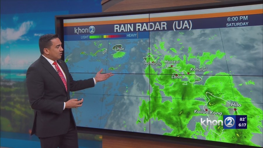
Moisture below the inversion will be high today, but is forecast to decrease to more normal levels the remainder of the week.
Therefore, rather typical windward showers are to be expected, with a few making it over to the leeward side with light rain amounts.
Winter Weather Advisory until 6 AM HST Sunday for Big Island Summits.
Small Craft Advisory until 6 AM HST Sunday for Kaiwi Channel, Maui County Windward Waters.
Small Craft Advisory until 6 PM HST Sunday for Maalaea Bay, Pailolo Channel, Alenuihaha Channel, Big Island Leeward Waters, Big Island Southeast Waters.