HONOLULU (KHON2) – Surface high pressure centered far NE and far NW of the islands will continue to support light to moderate trade wind flow through tonight.
A strong cutoff low aloft has developed about 1000 miles NNE of the state this afternoon, with an associated surface low around 900 miles NNE of the islands and a weakening cold front extending SW to the far NW offshore waters.
The upper air sounding at Hilo this afternoon continues to show a strong temperature inversion around 5500 feet with substantial dry and warm air aloft.
The Lihue sounding has a slightly higher inversion with a bit more low-level moisture due to the proximity of the front, though still stable with warm, dry air aloft.
Current satellite and radar images reflect these conditions, with partly cloudy skies and a few showers, mostly over and around Kauai.
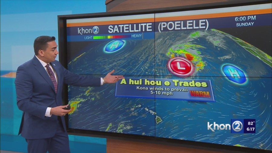
As the aforementioned lows drift slowly SW then W tonight through Tuesday, the local surface pressure gradient will become quite weak, resulting in light and variable winds over the islands.
As the low aloft and surface trough slowly weaken and move N later in the week, high pressure will build back in from the east.
This will result in light SE flow Tuesday night and Wednesday, followed by strengthening easterly trade winds from E to W across the state by Thursday afternoon.
Rainfall-wise, a strong mid-level ridge will provide anomalously warm 500 mb temperatures and a relatively dry environment (with near to below normal precipitable water values).
Therefore, the airmass over the islands is expected to be quite stable and any rainfall that does occur during the first half of this week will be minimal.