HONOLULU (KHON2) – Water vapor satellite imagery continues to show a broad area of strong subsidence east of Oahu this afternoon.
Meanwhile, the upper-level low west of Kauai continues to slowly drift towards the state as a cold front stalls northwest of the region.
Expect our moderate to locally breezy trades to weaken slightly tonight through Monday as the mid- and upper-level ridge get eroded by the aforementioned features.
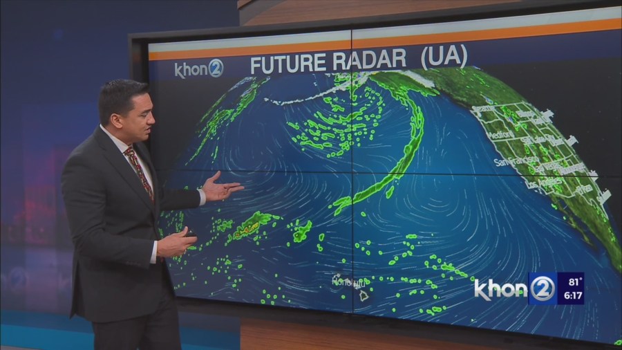
Visible satellite and radar imagery shows rather dry conditions across the state this afternoon, with pockets of clouds and showers across windward and mauka areas.
Shower trends will increase across the state tonight into Tuesday as the upper-level low approaches and lifts the trade wind inversion across the islands.
Breezy trade winds are then expected beyond Tuesday as high pressure rebuilds north of the state.
Guidance continues to suggest an uptick in shower activity Tuesday night into Wednesday as the remnants of the cold front gets embedded in the trades and drifts across the islands.
Otherwise, expect clouds and showers to continue favoring windward and mauka areas, with an increase in coverage expected during the overnight and early morning hours.
Small Craft Advisory until 6 PM HST Monday for Maalaea Bay, Pailolo Channel, Alenuihaha Channel, Big Island Leeward Waters, Big Island Southeast Waters.