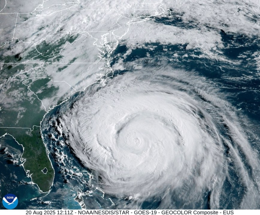
HONOLULU (KHON2) — The latest NOAA update today, Sept. 6, reports that Hurricane Kiko has weakened while moving north-northwest through the central Pacific.
Kiko is about 935 miles east-southeast of Hilo or 1135 miles east-southeast of Honolulu, travelling west-northwest at 12 mph.
Maximum sustained winds were reported at 120 mph, now a Category 3 on the Saffir-Simpson Hurricane Wind Scale.
Hurricane Kiko is still on track to pass north of the islands; the exact impact of the magnitude, cyclone’s winds and rains is still too soon to determine, NOAA officials said.
The National Weather Service says swells generated by Hurricane Kiko could reach the Big Island and Maui by Sunday, Sept. 7, with high surf advisories and warnings likely to be posted Monday and Tuesday.
NOAA officials report these swells are expected to gradually build and peak along east-facing shores of the Hawaiian Islands from late Monday through midweek. As a result, it could produce life-threatening surf and rip currents.
As surfers get excited for the hurricane swell, remember to go out only when it is safe, go to beaches with lifeguards and constantly check conditions. When in doubt, don’t go out.
Hurricane swells are similar to a strong windswell, but unlike a windswell, which is typically short and lacking power, hurricane swells are short but pack a lot more power and occur closer to shore.
It is advised that everyone continues to prepare for potential hurricane impacts and gather all supplies necessary to keep themselves and their family safe.
