HONOLULU (KHON2) – A 1030 mb high remains centered far north of the state will gradually weaken and drift eastward the next few days.
This will cause the breezy trade winds to gradually decrease through the middle of the week.
Afternoon soundings from Lihue and Hilo show the trade wind inversion between roughly 5,000 to 6,000 feet and will likely hold near these levels through Tuesday.
Overall, mostly dry and breezy conditions will continue through Monday with a decrease of wind speeds expected on Tuesday.
Moderate trade winds with mostly dry conditions are expected for Tuesday.
Trades will likely become disrupted Wednesday into parts of Thursday, as the remnants of Gil passes to our north.
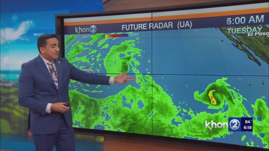
Latest model guidance continues to show the main blob of moisture passing north of Hawaii with only scattered showers expected for the state of Hawaii.
Variable winds should give way to sea breezes Wednesday and Thursday afternoons, which should allow for some scattered showers over leeward areas as well.
With the variable winds and higher dewpoints (possibly low 70s), warm and humid conditions are also expected during this time.
By Friday, we should the the remnants of Gil to our west and we should see the return of moderate trade winds.
Small Craft Advisory until 6 PM HST Monday for Maalaea Bay, Pailolo Channel, Alenuihaha Channel, Big Island Leeward Waters, Big Island Southeast Waters.