HONOLULU (KHON2) – A 1032 mb surface high remains well north and northeast of the Hawaiian Islands, with moderate to locally breezy trades blowing across the state this afternoon.
Satellite imagery continues to show clouds moving into windward and mauka areas, with a band of moisture moving towards Maui County.
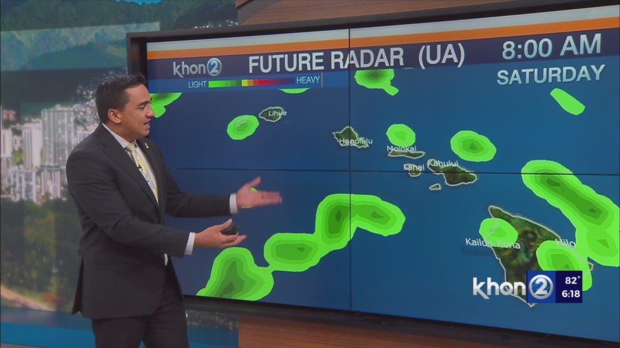
Radar imagery shows some enhanced showers embedded in this moisture that is currently moving into Molokai.
Expect this band of moisture to shift towards Oahu and Kauai tonight bringing a slight increase in clouds and showers.
Otherwise, expect fairly typical summertime conditions tonight.
Guidance continues to show the high slowly drifting north over the weekend and into next week, with winds weakening a bit starting Saturday.
It also shows no organized bands of moisture upstream of the islands, with a fairly typical dry and stable summertime air mass over the region.
As such, expect clouds to favor windward and mauka areas, with passing showers moving in at times through the forecast period.
Kona Slopes of the Big Island will also continue to see the typical summertime afternoon showers as the sea breeze develops across leeward Big Island.