HONOLULU (KHON2) – A 1026 mb surface high is centered far north of the islands driving breezy trade winds this afternoon.
Water vapor imagery shows an upper low over just northeast of the area nudging closer to state.
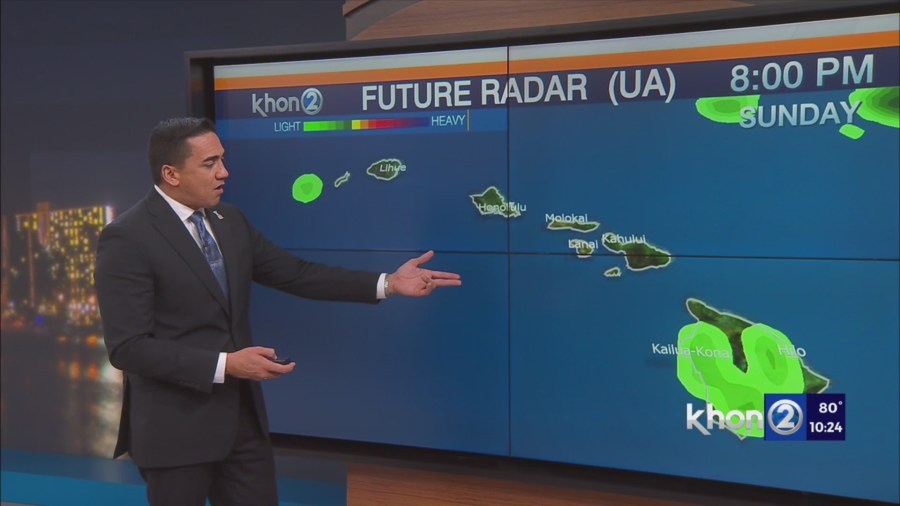
Visible satellite and radar show a band of clouds pushing east to west approaching the islands.
The upper low moving over the islands will create somewhat unstable conditions enhance these showers.
Expect these showers to track in through the night into Sunday morning focusing over windward slopes.
Drier conditions expected Tuesday into the end of the week while the trades begin to taper off due to disturbances moving across the northeast Pacific.
Long range model solutions show a low developing northeast of the state by the end of the week, but confidence is low if there will be direct impacts to Hawaii.
Small Craft Advisory until 6 PM HST Sunday for Maalaea Bay, Pailolo Channel, Alenuihaha Channel, Big Island Leeward Waters, Big Island Southeast Waters.