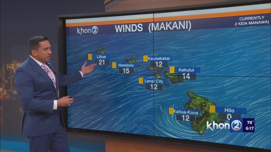
HONOLULU (KHON2) – Starting Monday, we should return to our typical fair trade wind weather with some scattered showers over windward and mauka areas.
On Tuesday, a plume of moisture will move in from the east which should increase shower activity especially over the windward and mauka areas of Maui County and the Big Island.
A dry air mass will follow behind on Wednesday, while the plume of moisture lingers around Kauai.
From Thursday night into Friday, trades will begin to weaken and veer toward the southeast as a front approaches the state.
Friday should be a transition day with light southeast flow over the western half of the state and moderate to locally breezy east to east-southeast winds over the eastern half of the state.
For next weekend, a light and variable wind pattern is expected with mostly fair weather.
A hot spot over Halemaumau Crater on the Big Island continues to be seen on infrared satellite imagery.
The University of Hawaii (UH) Vog Model shows that SO2 emissions have cleared out of the smaller islands and should remain confined to portions of the Big Island and the waters to the southwest through the middle of the week.
Vog will likely increase across the state as the trades weaken and veer toward the southeast towards the end of the week.
Small Craft Advisory until 6 PM HST Monday for Maalaea Bay, Pailolo Channel, Alenuihaha Channel, Big Island Leeward Waters, Big Island Southeast Waters.