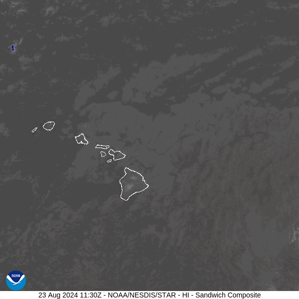
HONOLULU (KHON2) — Tropical Storm Hone is intensifying as it approaches the Big Island of Hawaii, prompting a Tropical Storm Warning for Hawaii County.
As of 8 a.m. HST (6 p.m. UTC), Hone was located approximately 220 miles southeast of Hilo and 425 miles east-southeast of Honolulu. The storm is moving west at 15 mph (24 km/h) with maximum sustained winds of 65 mph (100 km/h) and a minimum central pressure of 998 mb (29.47 inches).
The National Weather Service (NWS) has issued a Tropical Storm Warning for Hawaii County, indicating that tropical storm conditions are expected within 36 hours. Residents across Hawaii should continue to monitor updates from the NWS Honolulu office.
U.S. Air Force weather reconnaissance aircraft report that Hone’s current trajectory will bring it near or south of the Big Island Saturday night and into early Sunday. The storm is forecast to strengthen and could become a hurricane by Sunday through Monday.
Tropical-storm-force winds extend up to 115 miles from the center of the storm. Key hazards include:
Wind: Tropical storm conditions are anticipated to begin this evening on the Big Island, with the strongest winds expected downslope of higher terrain, over headlands, and through passes.
Rainfall: Total rainfall could reach 5 to 10 inches on the Big Island’s windward and southeast slopes, with locally higher amounts possible. Other islands may see 2 to 4 inches of rain, mainly on windward sides.
Surf: Large swells generated by Hone will cause dangerous surf conditions and life-threatening rip currents through Sunday.
The next advisory will be issued at 11 a.m. HST. For the latest information, residents are advised to stay tuned to local weather updates.
For further details, visit the NWS Tropical Cyclone Discussion, click here.