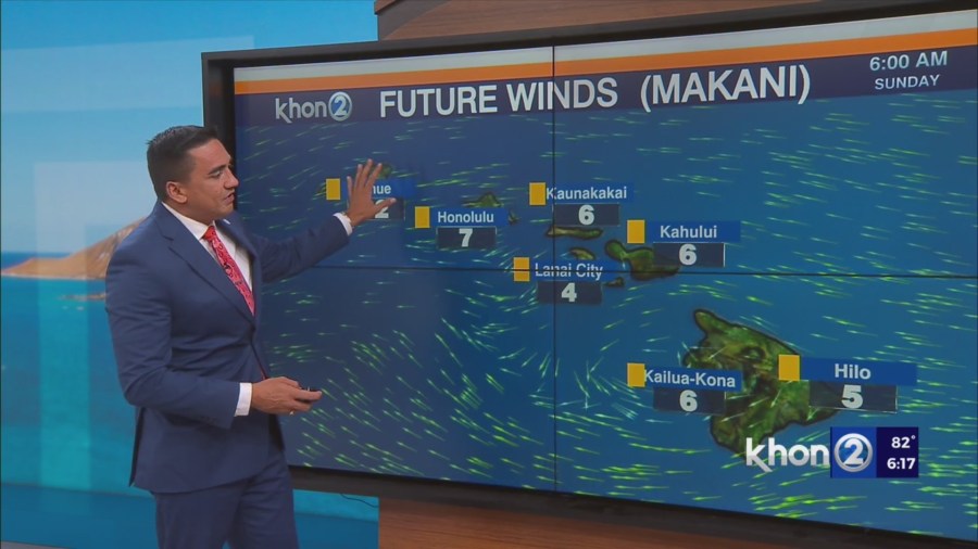
HONOLULU (KHON2) – High pressure systems far northwest and northeast of Hawaii will maintain moderate to locally breezy trade winds through this evening.
A broad low level trough will develop over the islands tomorrow into Monday as an upper level trough digs in toward the northwestern end of the state.
As a result, winds will weaken and veer east-southeasterly.
The instability provided by this weak troughing near the state combined with pockets of moisture moving in on the trades may be enough to enhance windward and mauka showers during the overnight hours with some spillage over into interior and leeward areas, and to help some clouds and showers build over island interiors and leeward areas in the afternoons, where any sea breezes manage to develop in the lighter flow.
More widespread sea breeze activity is expected Monday and Tuesday afternoons, when the trade winds are expected to be at their lightest.
While the upper trough near the state may contribute to some shower enhancement before the surface trough and associated moisture clears the islands to the west Monday night, mid level ridging will still be present over the majority of the state…so not expecting a major uptick in shower activity as the weak surface trough moves across from the east.
Small Craft Advisory until 6 AM HST Sunday for Maalaea Bay, Pailolo Channel, Alenuihaha Channel, Big Island Leeward Waters, Big Island Southeast Waters.