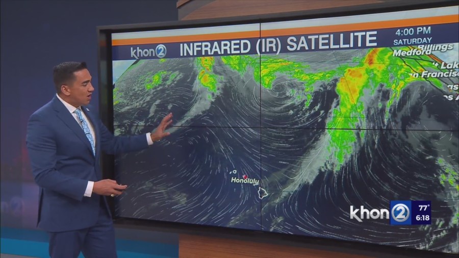
HONOLULU (KHON2) – Latest satellite and surface analysis a weak front has passed through the Big Island with the main cloud band just south of the state.
Dewpoints have fallen below 70s and range from 50s to upper 60s as gentle to locally breezy northwesterly winds, driven by a weak high west of of the state, advects a drier airmass over the state.
The weak surface high west of the state will gradually shift eastward, veering winds to northeast tonight into Sunday.
Clouds and showers will be limited to exposed northerly slopes and windward and mauka areas as a dry and stable airmass settles over the state.
The exception may be windward Big Island which will see a more typical tradewind pattern as the remnant moisture band front the front lingers just east of the island.
A weak and shallow frontal boundary and associated weak upper level trough will move over the state Monday into Tuesday.
Expect just a slight increase in windward clouds and showers as winds back slightly to a more NNE direction.
In the extended forecast, model guidance continues to shows a shortwave trough deepening the upper level trough and another surface front moving through the state during the second half of the week.
The ECMWF is a little more progressive at bringing the front through the state than the GFS.
Thus the exact timing is still uncertain at this time. However, due to the limited moisture, no significant weather expected at this time.