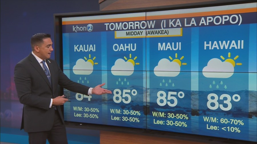
HONOLULU (KHON2) – The lingering instability and moisture will help to enhance some showers today, with some areas in upcountry Maui getting close to 0.5 in over the last several hours.
Expect the threat for localized flooding to continue through this evening.
Otherwise, expect the upper level trough to continue to weaken overnight as upper level ridging expands towards the west.
At the surface we will see moderate easterly trade winds expand by Sunday and continue into Monday as clouds and showers favor windward and mauka areas.
The next weather maker will come in the form of a closed-off upper level low that will sink down along and near 170W longitude and come within 600 miles northwest of Kauai.
The west-northwest positioning of this low will pull up more moisture-rich air over the state from the southwest.
As heights begin to lower and mid to upper layers cool from the west, enhanced instability within a moistened air mass will likely induce another round of widespread heavy showers and thunderstorms.
Guidance continues to show the highest rain probabilities across the western half of the state.
Expect another round of flood concerns next Tuesday through Thursday as locally heavy rain falls upon saturated soils.
If guidance holds would not be surprised if a Flood Watch is issued for portions of the state in the coming days.