HONOLULU (KHON2) – Latest satellite imagery shows a weak high northwest of the state that is driving breezy north northeast trade winds and thinning, shallow scattered cumulus cloud field over the state.
CIMSS precipitable water imagery shows a dry airmass has filled in across the state.
Due to limited available moisture and upper level ridging aloft expect clouds to be limited along exposed windward and mauka areas with very little rainfall, if any.
Chances of rainfall may increase slightly tonight for windward and mauka areas in response to typical diurnal patterns.
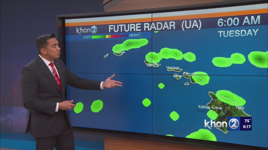
A weak and shallow band of moisture associated with a remnant front will move over the state Monday afternoon into Tuesday.
Expect just a slight increase in windward clouds and showers as winds remain in a north northeast flow.
North northeast winds will persist through Tuesday as the high west of the state slowly tracks northeast.
Wednesday winds may weaken enough to allow for land seabreeze pattern to take over as the high tracks north of the state and weakens and a front approaches from the northwest.
Thursday into Friday, deterministic guidance continues to shows a shortwave trough deepening the upper level trough associated with the front moving through or just north of the state during the second half of the week.
The ECMWF is a little more progressive at bringing the front through the state where as the GFS shows a weaker front passing north of the state.
Thus confidence in this in the day 4 through 5 forecast is low. However, due to the weak nature of this feature no significant weather is expected.
A strong high pressure will build northeast of the state late in the week and over the weekend returning typical easterly trades in the wake of the front.