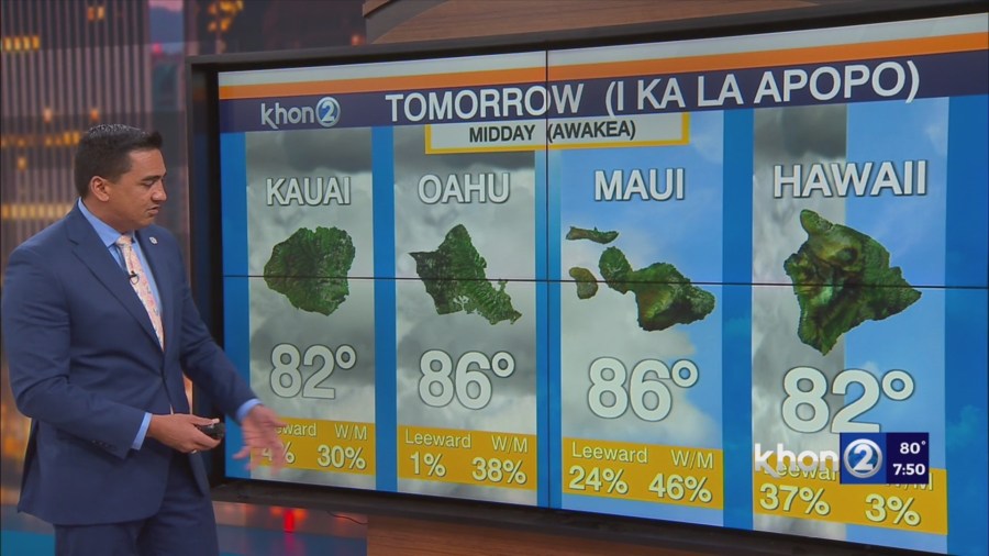
HONOLULU (KHON2) – A 1032 mb surface high remains centered approximately 1400 miles northeast of the Hawaiian Islands.
This is producing moderate to locally breezy trades across the state this afternoon.
Satellite imagery continues to shallow bands of moisture embedded in the trades with clouds moving into windward and mauka areas, with radar imagery showing isolated light showers across the area.
Expect these fairly typical summertime conditions to continue tonight.
Guidance continues to show high pressure remaining northeast of the state through the week, then drifting north starting on Sunday.
Moderate to breezy trades will continue through Saturday, then start to weaken as the high moves further away.
With no organized source of moisture upstream of the state expect fairly typically summertime conditions under a dry and stable airmass.
Clouds will tend to favor windward and mauka areas with passing showers moving in at times through the forecast period.