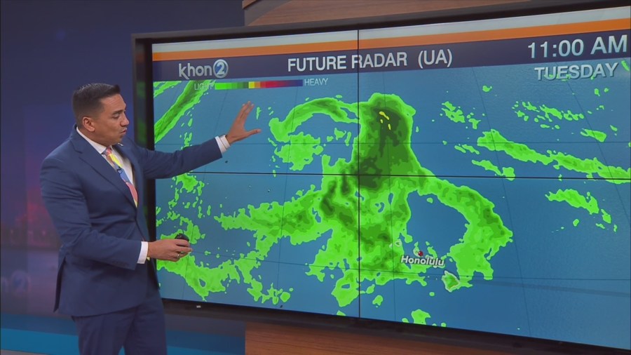
HONOLULU (KHON2) – On Monday, we should return to more of a typical moderate trade wind day as the upper level trough shifts away from the state and a drier air mass moves in the lower levels of the atmosphere.
Trade winds should be slightly weaker than today, which will once again allow for afternoon clouds and some scattered showers.
But this time, any showers that do develop should remain lighter in intensity than the showers that developed today.
Starting Tuesday, we should see an upper level low northwest of the state drop further southward, which will cause the trade winds to weaken and veer toward the south.
Light to moderate southeast to south winds over the state will bring increasing showers across the state with a large gradient in rainfall expected between the western end of the state and the eastern end.
The Island of Kauai will be the closest to the low pressure system and should see the greatest rainfall from this event.
Heavy rain will be the main concern and a Flood Watch may be needed for Kauai around the Tuesday through Wednesday time frame.
With the latest QPF ensemble guidance coming into better agreement, the main moisture axis will likely stay just west of Kauai.
Even if the main band of rain stays just west, heavy downpours with isolated thunderstorms should be expected over Kauai during this time.
For rest of the state, scattered showers with some moderate rainfall totals will be possible with higher rainfall amounts around Oahu.
By Friday, the upper level low should lift further north and away from the state which should bring the return of stable conditions, although trade winds may not return till later in the weekend.