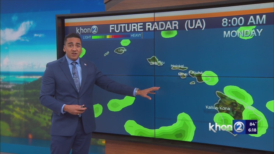
HONOLULU (KHON2) – Mostly dry conditions with strong trades this afternoon will slowly moderate over the next few days as the trades slowly weaken Monday into the middle of the week and showers begin to increase starting tonight.
This afternoon’s radar and satellite imagery shows stable stratocumulus clouds across many windward and mountain areas with very little rainfall across the state.
Upstream of the state, there is a pocket of cumulus clouds which should bring an uptick of showers tonight especially over windward areas of Maui and the Big Island.
Rainfall amounts should remain mostly light, but any amounts of rain during the summer time should be beneficial.
Monday looks to be a breezy trade wind day with some passing showers over windward and mountain areas in the morning, giving way to partly sunny skies and some scattered showers in the afternoon.
Going into Tuesday, a weak upper level trough will pass near the state, which could enhance the trade wind showers particularly near Kauai Monday night into Tuesday and possibly through Wednesday.
Moisture and some weak instability will be greatest near Kauai, which should allow for some periods of moderate rain.
No significant impacts are expected, but the showers could be frequent enough to alter your outdoor plans especially over windward and mountain areas of Kauai.
For rest of the state, the shower activity is not expected to be as frequent as Kauai, but some passing showers are expected through at least the middle of the week.
Small Craft Advisory until 6 PM HST Monday for Oahu Leeward Waters, Kaiwi Channel, Maui County Windward Waters, Maui County Leeward Waters, Maalaea Bay, Pailolo Channel, Alenuihaha Channel, Big Island Windward Waters, Big Island Leeward Waters, Big Island Southeast Waters.