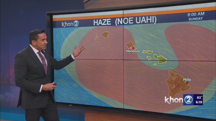
HONOLULU (KHON2) – Light winds will prevail with nighttime land and daytime sea breezes common across much of the state through the rest of the weekend.
The front to the west will edge closer to the state early next week, while the high pressure to the northeast edges closer to the islands.
As a result, moderate southeasterly winds should prevail over the eastern end of the state, while moderate southerly winds hold over the western islands from Monday through Wednesday.
A front appears to approach from the northwest toward the end of next week, which should gradually ease winds to light levels from west to east by Thursday.
As for the remaining weather details, not too much change to the overall weather pattern is expected through Monday.
Mid-level ridging will hold over the state, keeping showers limited and near the coast at night, with daytime heating driven shower development over the island interiors each afternoon.
Ridging aloft appears to break down a bit Monday night and Tuesday, with increasing southerly flow bringing some deeper moisture northward into the western islands.
As a result, the expectation is for an increase in shower coverage, particularly over the western islands.
Easing winds Thursday should result in showers favoring areas near the coast at night and over interior and leeward areas each afternoon.
A cold front could push into the western islands Friday, bringing a better shot for some more significant rainfall.