HONOLULU (KHON2) – Going into Sunday, dry and stable conditions should continue with trade winds strengthening across the state.
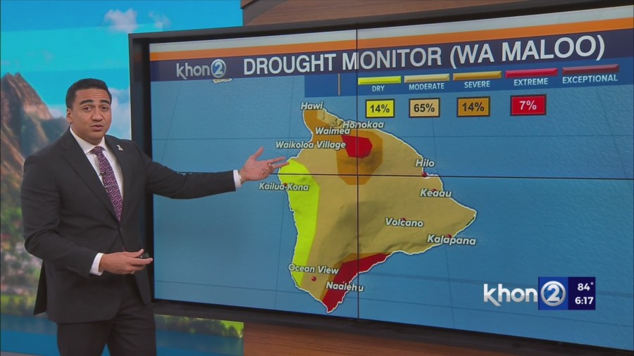
Due to the winds strengthening and the relatively dry conditions in place, elevated fire weather concerns are expected for Sunday, especially over Maui County and parts of the Big Island, where fuels are drier and the winds are stronger than the western half of the state.
It is urged that everyone remains mindful of activities that could produce a spark when working or recreating outdoors.
Starting next week Monday, an increase of showers is expected as an upper level trough approaches the state.
Enhanced trade wind showers with periods of showery weather will be possible starting Monday and likely persisting through at least the middle of the week.
No significant rainfall is expected, but it just might be enough rainfall to alter your outdoor plans if caught in these bands of moisture that will be moving through the island chain at times.
Showers will likely be most active over windward and mountain areas on Tuesday or Wednesday of next week.
Small Craft Advisory from 6 PM this evening to 6 PM HST Sunday for Oahu Leeward Waters, Kaiwi Channel, Maui County Windward Waters, Maui County Leeward Waters, Big Island Windward Waters.
Small Craft Advisory until 6 PM HST Sunday for Maalaea Bay, Pailolo Channel, Alenuihaha Channel, Big Island Leeward Waters, Big Island Southeast Waters.